Biking

Medium

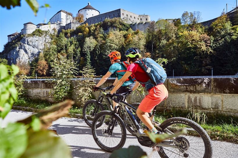
Kufstein - Fortress tour

Cycling tour

40,80 km

05:00 h

265 hm

267 hm

692 m

Best Time of Year

Jan

Feb

Mar

Apr

May

Jun

Jul

Aug

Sep

Oct

Nov

Dec

Information

Start is at the information office Walchsee. From there it goes to the observation tower near the Schwemm moorland and further around the Miesberg. In Durchholzen follow the main road for a short time and then turn left via Buchberg. In Ebbs cross the main road and follow the gravel

Read more ...

Recommended Equipment

Appropriate clothing, sturdy shoes, backpack, rain gear, mobile phone, sun cream, snack and drinks, possibly a camera.

Map & Elevation Profile

Arrival

By car to the centre of Walchsee.

Similar Tour Suggestions

Walchsee - Spitzsteinhaus Nr. 15, 16, 314, 315

Medium

Biking

Mountainbike tour

Starting Point: information office Walchsee

End Point: information office Walchsee

35,30 km

746 hm

739 hm

1090 m

Schwendt - Bichlach - Kössen Nr. 61a

Medium

Biking

Cycling tour

Starting Point: Dorfzentrum Schwendt

End Point: Dorfzentrum Schwendt

17,70 km

150 hm

148 hm

711 m

Kaiser Bike Tour

Medium

Biking

Cycling tour

Mountainbike tour

Starting Point: wherever you want

End Point: wherever you want

85,60 km

724 hm

714 hm

807 m

Rettenschöss - Wandberg Nr. 311

Medium

Biking

Cycling tour

Mountainbike tour

Starting Point: Rettenschöss

End Point: Wandbergalm - Burgeralm

7,20 km

01:45 h

796 hm

138 hm

1342 m

Tour to Thiersee across Bavaria

Medium

Biking

Cycling tour

Road bike tour

Starting Point: Walchsee

End Point: Walchsee

109,40 km

926 hm

920 hm

859 m

Kufstein - Kössen BIKE TRAIL TIROL - Etappe 10

Medium

Biking

Cycling tour

Mountainbike tour

Starting Point: Kufstein - Eichelwang

End Point: Kössen

34,10 km

03:30 h

641 hm

539 hm

1030 m

Straubingerhaus / Eggenalm Nr. 248

Hard

Biking

Mountainbike tour

Starting Point: Kössen

End Point: Eggenalm

17,00 km

1102 hm

127 hm

1572 m

Seenrunde Kramsach

Medium

Biking

Road bike tour

Starting Point: beliebiger Einstieg

End Point: beliebiger Endpunkt

109,10 km

816 hm

801 hm

701 m