Biking

Medium

Kranzhorn

Mountainbike tour

[object Object]

43,39 km

04:30 h

1366 hm

1371 hm

1237 m

Best Time of Year

Jan

Feb

Mar

Apr

May

Jun

Jul

Aug

Sep

Oct

Nov

Dec

Information

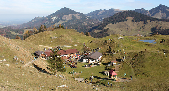
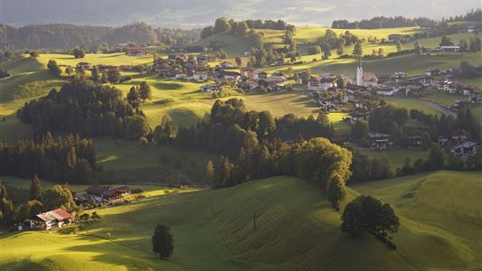
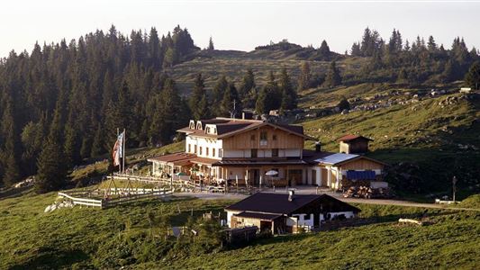
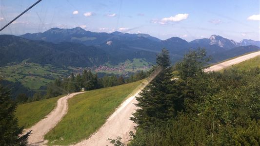
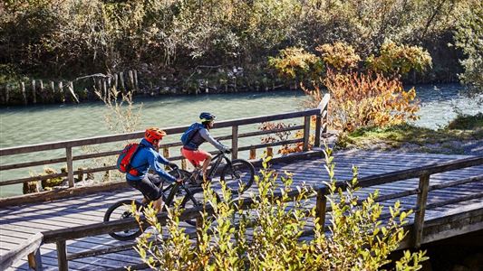
An eventful bike tour that leads through several villages and to remote farms.

You ride via Rettenschöss to Wildbichl, before the state border turn left in the direction of Erlerberg, at Erlerberg in the direction of Erl and then turn left to Gasthof Kranzhorn. Take the same route back to the

Read more ...

Recommended Equipment

Appropriate clothing, sturdy shoes, backpack, rain gear, mobile phone, sun cream, snack and drinks, possibly a camera.

Map & Elevation Profile

Arrival

By car to the village center of Walchsee.

Similar Tour Suggestions

Dichtleralm

Medium

Biking

Cycling tour

Mountainbike tour

Starting Point: Kössen

End Point: Dichtleralm

8,41 km

01:30 h

506 hm

64 hm

1093 m

Kaiserweis pleasure bike tour Kufstein- Kössen

Medium

Biking

Cycling tour

Starting Point: Kufstein

End Point: information office Kössen

71,80 km

05:00 h

558 hm

560 hm

700 m

Kössen - Kitzbühel BIKE TRAIL TIROL Etappe: 11

Hard

Biking

Cycling tour

Mountainbike tour

Starting Point: Kössen

End Point: Kitzbühel

56,32 km

07:00 h

1746 hm

1580 hm

1725 m

Straubingerhaus / Eggenalm

Hard

Biking

Mountainbike tour

Starting Point: Information office Kössen

End Point: Eggenalm/ Staubingerhaus

17,05 km

04:00 h

1102 hm

127 hm

1572 m

Feldalm

Medium

Biking

Mountainbike tour

Starting Point: Information office Walchsee

End Point: Feldalm

11,98 km

03:30 h

672 hm

1337 m

Kufstein - Kössen BIKE TRAIL TIROL - Etappe 10

Medium

Biking

Cycling tour

Mountainbike tour

Starting Point: Kufstein - Eichelwang

End Point: Kössen

34,07 km

03:30 h

641 hm

539 hm

1030 m

Brennalm

Medium

Biking

Mountainbike tour

Starting Point: information office Walchsee

End Point: Brennalm

9,55 km

01:30 h

586 hm

31 hm

1254 m

Mozart Cycle Route stages 12, 13

Medium

Biking

Cycling tour

Starting Point: Niederndorf

End Point: Kössen

37,51 km

02:30 h

423 hm

318 hm

759 m