Kaiserwinkl - Challenge Strecke
cycling, medium
Uphill
(cumulative values)639 m
distance
total in km43,5 km
duration
in hrs-
cycling, medium
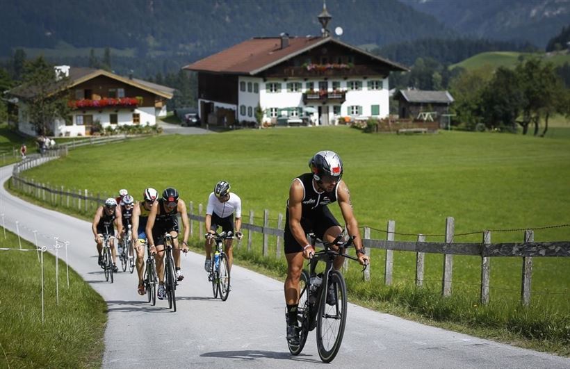
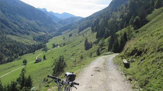
The bike route leads slightly downhill from Walchsee on the B172 to the turnoff Bichlach, then right via Bichlach to the junction with the B176. From there left slightly uphill to Schwendt and then in a longer descent to the traffic circle Kössen. From there straight on into the village of Kössen until the next traffic circle. Then it goes back again to the first traffic circle. Here we turn right again back on the B172 to Walchsee. There we turn sharp right after the confectionery Praschberger towards the golf course and the nature reserve "Schwemm". At the end of the golf course we turn right to Rettenschöss. Slightly hilly, the bike route leads through several small parts of Rettenschöss. Then it goes steeply downhill to Primau. Be careful the last kilometer of this descent is winding! At the end of the descent, take a sharp left onto the B 172 federal road towards Walchsee. After 2.5 km on the federal road we turn left again onto the municipal road Miesberg and continue to Schwaigs via Ankerwald retour, after the fire station Walchsee we turn right onto the B172 to the Liftstüberl (about 2 km). From there it goes back on the main road, past the transition area into the 2nd round.
cycling, medium
Uphill
(cumulative values)
639 m
distance
total in km
43,5 km
duration
in hrs
-
Asphalt
Entsprechende Kleidung, festes Schuhwerk, Rucksack, Regenschutz, evtl. Wanderstöcke, Handy, Sonnencreme, Jause (Brotzeit) und Getränke, evtl. Fotokamera.
One moment
Information loading...