Biking

Medium

Rettenschöss - Wandberg

Cycling tour

Mountainbike tour

+1

7,22 km

01:30 h

796 hm

138 hm

1342 m

Best Time of Year

Jan

Feb

Mar

Apr

May

Jun

Jul

Aug

Sep

Oct

Nov

Dec

Information

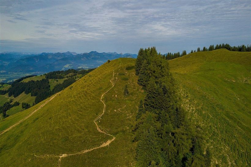
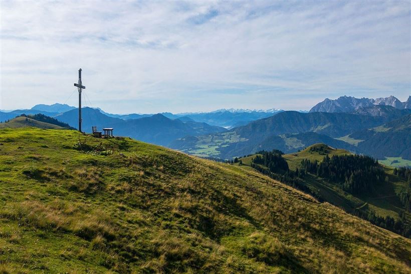
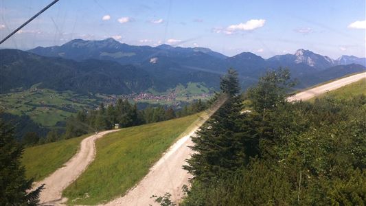
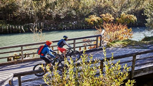
From Rettenschöss to Feistenau (Schöne Aussicht inn). Here you will also find the hikers' car park (free of charge with the Kasierwinkl Card). Then follow the asphalted municipal road for approx. 3 km. The trail then continues on a forest road with wonderful panoramic views of the Kaisergebierge and the

Read more ...

Recommended Equipment

Appropriate clothing, sturdy shoes, backpack, rain gear, mobile phone, sun cream, snack and drinks, possibly a camera.

Features & Characteristics

Starting Point

Rettenschöss village or Feistenau

End Point

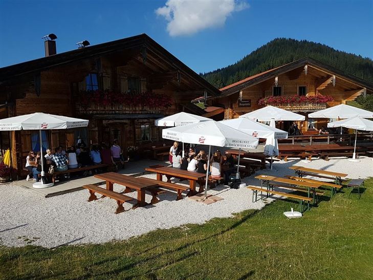
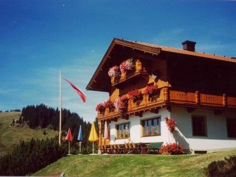
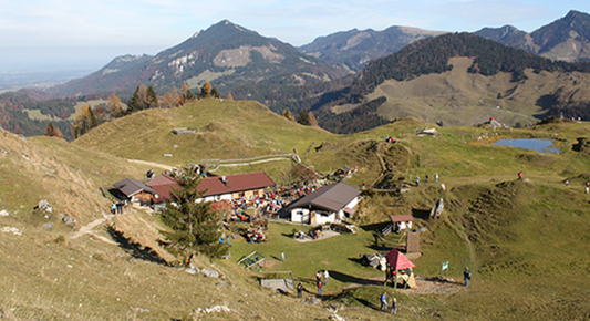
Wandbergalm - Burgeralm

Duration E-Bike

Map & Elevation Profile

Arrival

By car to the village center of Rettenschöss.

Similar Tour Suggestions

Kohlalm

Medium

Biking

Mountainbike tour

Bike & Hike

Starting Point: Parking spot Kohlalm

End Point: Kohlalm

6,79 km

02:30 h

578 hm

1245 m

Feldalm

Medium

Biking

Mountainbike tour

Starting Point: Information office Walchsee

End Point: Feldalm

11,98 km

03:30 h

672 hm

1337 m

Gwirchtalm - Hageralm

Medium

Biking

Cycling tour

Mountainbike tour

Starting Point: information office Walchsee

End Point: information office Walchsee

20,84 km

03:00 h

721 hm

725 hm

1370 m

Pillersee

Medium

Biking

Road bike tour

Starting Point: Information office Walchsee

End Point: information office Walchsee

87,80 km

03:30 h

635 hm

634 hm

960 m

St. Johann - Walchsee 16. Etappe Bikeschaukel Tirol

Medium

Biking

Cycling tour

Mountainbike tour

Starting Point: St. Johann in Tirol

End Point: Walchsee

46,95 km

04:00 h

1512 hm

1510 hm

1482 m

Kaiserwinkl Round

Medium

Biking

Cycling tour

Starting Point: information office Walchsee

End Point: information office Walchsee

21,80 km

02:30 h

169 hm

171 hm

700 m

Klausenberg - Klausenberg gorge

Medium

Biking

Mountainbike tour

Starting Point: Erpfendorf junction

End Point: Kössen

19,70 km

02:30 h

697 hm

694 hm

902 m

Unterberghorn

Hard

Biking

Mountainbike tour

Starting Point: Information office Kössen

End Point: Unterberg

11,64 km

02:30 h

884 hm

1471 m