Biking

Medium

Kaiserweis pleasure wheel round Kufstein - Kössen

Cycling tour

Loop tour

71,80 km

05:00 h

720 hm

560 hm

700 m

Best Time of Year

Jan

Feb

Mar

Apr

May

Jun

Jul

Aug

Sep

Oct

Nov

Dec

Information

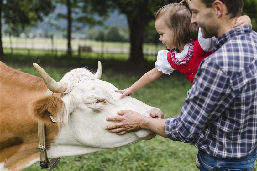
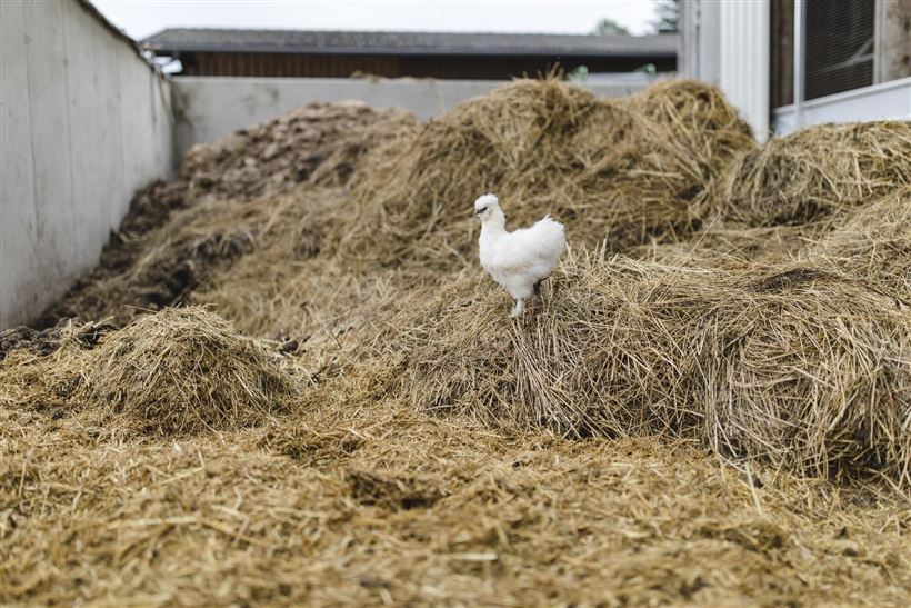
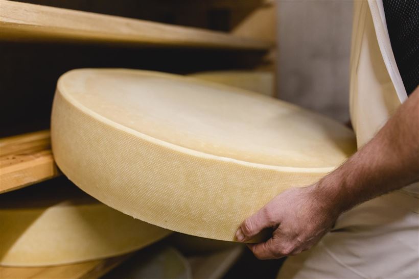
The tour leads cyclists north of the Zahmen Kaiser to the Kufsteinerland and back again. Along the way there are numerous regional alpine dairymen, bakers, beekeepers, distillers, bacon and sausage producers who invite you to try and visit. All enterprises are members of the association Kaiserweis. The route runs along

Read more ...

Recommended Equipment

Appropriate clothing, sturdy shoes, backpack, rain gear, mobile phone, sun cream, snack and drinks, possibly a camera.

Map & Elevation Profile

Arrival

By car to Kufstein.

Similar Tour Suggestions

Gwirchtalm - Hageralm Nr. 323

Medium

Biking

Cycling tour

Mountainbike tour

Starting Point: Dorfzentrum Walchsee

End Point: Dorfzentrum Walchsee

20,80 km

03:00 h

721 hm

725 hm

1370 m

Brennalm Nr. 365

Medium

Biking

Mountainbike tour

Starting Point: Infobüro Walchsee

End Point: Brennalm

9,50 km

01:30 h

586 hm

1254 m

Sudelfeldrunde

Medium

Biking

Mountainbike tour

Road bike tour

Starting Point: beliebiger Einstieg

End Point: beliebiger Endpunkt

77,70 km

1165 hm

1158 hm

1127 m

Leukentalradweg Nr. 20

Easy

Biking

Cycling tour

Starting Point: Kössen

End Point: Erpfendorf

13,60 km

01:30 h

120 hm

79 hm

641 m

Haraualm Nr. 245

Medium

Biking

Mountainbike tour

Starting Point: Infobüro Kössen

End Point: Haraualm

9,30 km

01:30 h

412 hm

12 hm

987 m

Kufstein - Kössen BIKE TRAIL TIROL - Etappe 10

Medium

Biking

Cycling tour

Mountainbike tour

Starting Point: Kufstein - Eichelwang

End Point: Kössen

34,10 km

03:30 h

641 hm

539 hm

1030 m

Feldalm Nr. 323, 324

Medium

Biking

Mountainbike tour

Starting Point: Infobüro Walchsee

End Point: Feldalm

22,30 km

03:30 h

903 hm

908 hm

1320 m

Um den Unterberg Nr. 20

Medium

Biking

Cycling tour

Starting Point: Talstation Unterberg

End Point: Talstation Unterberg

35,80 km

02:30 h

298 hm

266 hm

758 m