Hiking

Easy

Hochbergrunde - Walchsee Nr. 45, 88, 52, 88

Hiking tour

+3

5,80 km

01:45 h

123 hm

Best Time of Year

Partially Open

Jan

Feb

Mar

Apr

May

Jun

Jul

Aug

Sep

Oct

Nov

Dec

Information

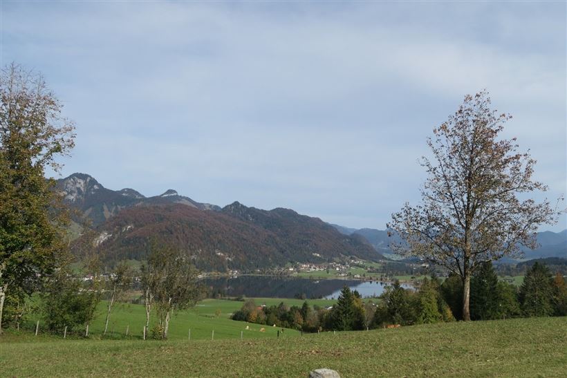
The Hochberg Loop starts at the paid parking area near the Zahmer Kaiser ski lifts.
An information board at the lower end of the parking lot points the way up the mountain to the right, in the direction of Hochberg, passing the Paxerhof with its beautiful Lüftlmalerei (traditional Bavarian mural paintings).

At

Read more ...

Recommended Equipment

Breathable outdoor clothing suitable for the weather, sturdy footwear, food (snacks, drinks),
sun protection (sunglasses, sun cream & cap), rain protection, cash; guest card if using the bus

Features & Characteristics

Endurance

Skill Level

Starting Point

Parkplatz Liftanlagen Zahmer Kaiser

End Point

Parkplatz Liftanlagen Zahmer Kaiser

Family-friendly

Yes

Stroller-friendly

Yes

Loop tour

Yes

Map & Elevation Profile

Arrival

Coming by car from Walchsee, drive to the district of Durchholzen.
On the left-hand side, you will see the Zahmer Kaiser cable car with a large parking area.

Similar Tour Suggestions

Lippenalm

Medium

Hiking

Hiking tour

Starting Point: Centre Walchsee

End Point: Lippenalm

4,40 km

01:30 h

310 hm

939 m

Hochschanz / Kalvarienberg - Kössen - Nr. 21,2

Easy

Hiking

Starting Point: 92

End Point: Pfarrkirche Walchsee

2,40 km

02:30 h

96 hm

92 m

Lochner Wasserfall - Burgeralm - Wandberg - Nr. 55B, 44, 54

Medium

Hiking

Hiking tour

Starting Point: Tourist Office Walchsee

End Point: Tourist Office Walchsee

13,80 km

06:00 h

974 hm

1408 m

Blaik - Peternhof - Kössen  - Nr. 9

Medium

Hiking

Hiking tour

Starting Point: Tourist Office Kössen

End Point: Tourist Office Kössen

8,00 km

02:30 h

240 hm

761 m

Brennkopf Nr. 54

Medium

Hiking

Hiking tour

Starting Point: Schwemmturm Walchsee

End Point: Schwemmturm Walchsee

8,60 km

04:00 h

738 hm

1330 m

Große Schwendterrunde - 61,64

Easy

Hiking

Hiking tour

9,50 km

02:00 h

93 hm

138 hm

Kössen - Unterberg - Lackalm - Nr. 26, 70

Hard

Hiking

Hiking tour

Starting Point: Unterberg Valleystation

End Point: Lackalm

17,60 km

07:00 h

1325 hm

1336 hm

1749 m

Leitwang - Nr. 12, 13, 67, 65

Easy

Hiking

Hiking tour

6,70 km

02:00 h

92 hm

93 hm

670 m