Hiking

Medium

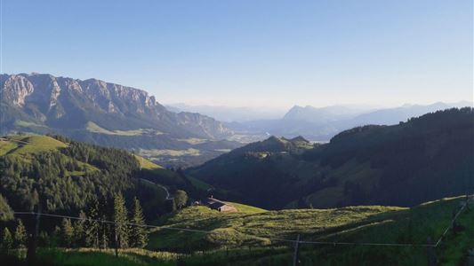
Rettenschöss - Wildbichlalm - Nr. 41

Winter walking

Hiking tour

+1

7,00 km

02:30 h

370 hm

155 hm

1018 m

Best Time of Year

Jan

Feb

Mar

Apr

May

Jun

Jul

Aug

Sep

Oct

Nov

Dec

Information

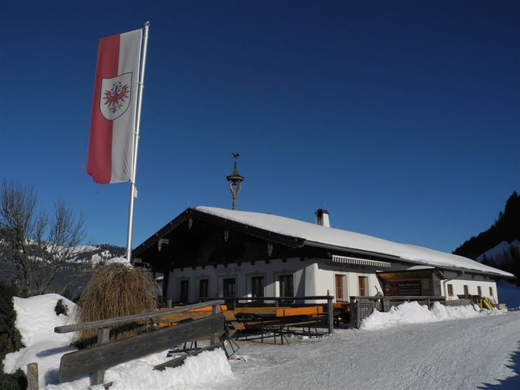
Starting point is the car park Ritzgraben. Cross the bridge, continue right following the path past the Gabnalm and on to the Wildbichlalm. Also available as a toboggan run at your own risk.

Recommended Equipment

Breathable outdoor clothing suitable for the weather, sturdy footwear, food (snacks, drinks),
sun protection (sunglasses, sun cream & cap), rain protection, cash; guest card if using the bus

Features & Characteristics

Endurance

Skill Level

Huts & Alpine Pastures

Starting Point

Parking lot Wildbichl

End Point

Wildbichlalm

Map & Elevation Profile

Arrival

By car to the parking lot Ritzgraben.

Similar Tour Suggestions

Rettenschöss Feistenau - in Richtung Wandberg - Nr. 47A, 14

Easy

Hiking

Hiking tour

Starting Point: Gasthaus Schöne Aussicht in Rettenschöss

End Point: Gasthaus Schöne Aussicht in Rettenschöss

9,00 km

03:30 h

353 hm

1326 m

Heuberg

Medium

Hiking

Hiking tour

Starting Point: Parkplatz Tennishalle

End Point: Parkplatz Tennishalle

11,33 km

05:00 h

932 hm

904 hm

1603 m

Partially Open
Brennkopf Nr. 54

Medium

Hiking

Hiking tour

Starting Point: Schwemmturm Walchsee

End Point: Schwemmturm Walchsee

8,60 km

04:00 h

738 hm

1330 m

Schwendt - Bichlach

Easy

Hiking

Winter walking

Hiking tour

Starting Point: Schwendt Dorfzentrum

End Point: Riedlwirt

3,50 km

01:00 h

30 hm

710 m

Pyramidenspitze - Vorderkaiserfelden

Hard

Hiking

Hiking tour

Starting Point: Parkplatz Hochberg Durchholzen

End Point: Parkplatz Hochberg Durchholzen

17,60 km

09:00 h

1665 hm

1999 m

Big Griesbach Loop

Medium

Hiking

Hiking tour

Starting Point: Erpfendorf - Parking lot Griesbachklamm

End Point: Erpfendorf - Parking lot Griesbachklamm

6,10 km

02:10 h

223 hm

862 m

Marienweg

Medium

Hiking

Hiking tour

Thematic route

+1

Starting Point: Niederndorf - Sebi

End Point: Reit im Winkl oder Kirchdorf

61,40 km

2018 hm

2031 hm

Josefstalrunde / Walchsee-Kössen - Nr. 40

Medium

Hiking

Starting Point: Parish church Walchsee

End Point: Parish church Walchsee

5,60 km

02:00 h

220 hm