Hiking

Medium

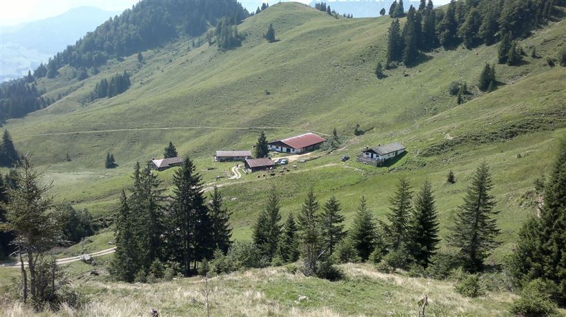
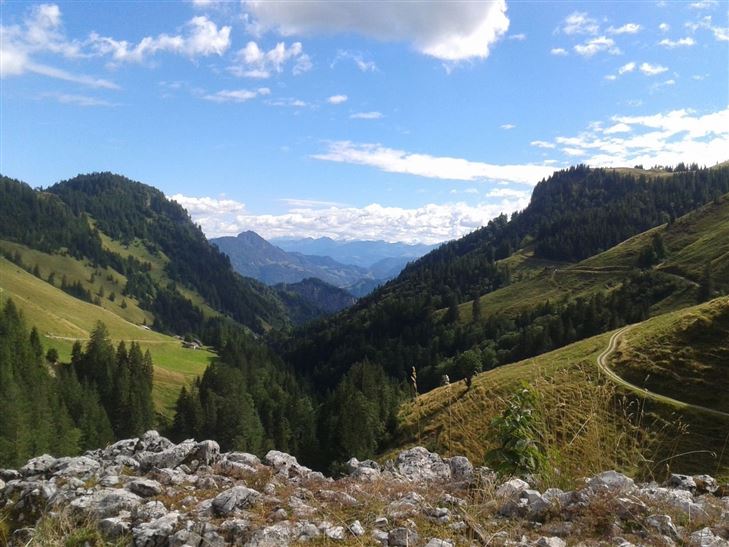
Priener Hütte - Karkopf - Nr. 47, 56, 87

Hiking tour

Loop tour

18,20 km

06:00 h

1118 hm

1093 hm

1451 m

Best Time of Year

Jan

Feb

Mar

Apr

May

Jun

Jul

Aug

Sep

Oct

Nov

Dec

Information

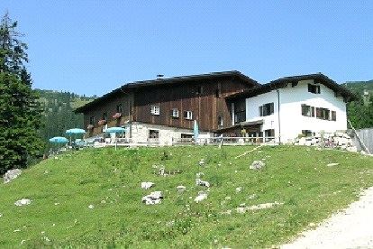
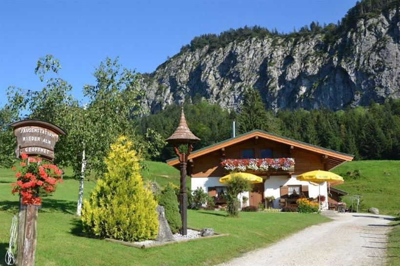
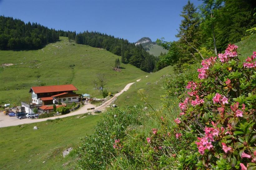
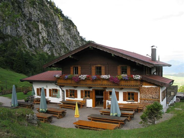
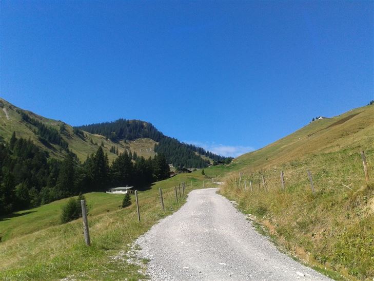
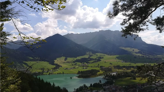
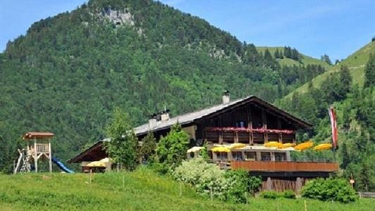
From the Tourist information office in Walchsee to the minigoflplatz, then continue along Hausbergstraße. After the soccer corner turn right and follow the forest road to the Riederalm and Ottenalm, pass them and go on to the Karalm area. Here you go over the Karkopf to the Prienerhütte (refreshment inn).

Read more ...

Recommended Equipment

Breathable outdoor clothing suitable for the weather, sturdy footwear, food (snacks, drinks),
sun protection (sunglasses, sun cream & cap), rain protection, cash; guest card if using the bus

Features & Characteristics

Starting Point

Tourist Office Walchsee

End Point

Tourist Office Walchsee

Loop tour

Yes

Map & Elevation Profile

Arrival

By car, turn into the centre of Walchsee and into Hausbergstraße. Follow this to the football field and park opposite at the Ottenalm car park.

Similar Tour Suggestions

Lippenalm

Medium

Hiking

Hiking tour

Starting Point: Centre Walchsee

End Point: Lippenalm

4,40 km

01:30 h

310 hm

939 m

über die Almen von Walchsee nach Kössen - Nr. 54, 47a, 3, 14, 8, 87,24

Medium

Hiking

Hiking tour

Starting Point: Walchsee

End Point: Kössen

21,60 km

08:00 h

1521 hm

1588 hm

1641 m

Hochbergrunde - Walchsee

Easy

Hiking

Hiking tour

Starting Point: Parkplatz Liftanlagen Zahmer Kaiser

End Point: Parkplatz Liftanlagen Zahmer Kaiser

5,80 km

01:45 h

123 hm

Premium hike Quellenweg Schwendt - Nr. 61, 64

Hiking

Hiking tour

+1

Starting Point: Parking lot near the Kaiserwinkl fish ponds

End Point: Parking Lot Dankl, Kohlental, Schwendt

3,10 km

01:00 h

21 hm

14 hm

675 m

Glasalm

Easy

Hiking

Hiking tour

Starting Point: Staffenbrücke Kössen

End Point: Staffenbrücke Kössen

7,50 km

02:00 h

260 hm

279 hm

806 m

Edernalm - Rudersburg

Hard

Hiking

Hiking tour

Starting Point: Parking lot Steinbauer

End Point: Parking lot Steinbauer

13,30 km

04:30 h

911 hm

882 hm

1431 m

Stubenalm

Easy

Hiking

Hiking tour

Starting Point: Hohenkendel Schwendt

End Point: Stubenalm

4,00 km

03:00 h

379 hm

135 hm

1032 m

Kaiserbachtal - Feldberg - Stripsenjoch

Medium

Hiking

Hiking tour

Starting Point: Kirchdorf - Parking Kaiserbachtal

End Point: Kirchdorf - Parking Kaiserbachtal

21,00 km

09:00 h

1170 hm

1180 hm

1800 m