Biking

Medium

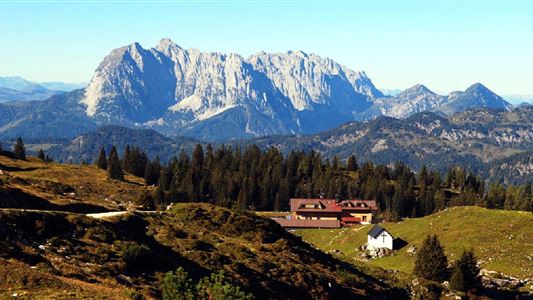
No. 2035 Kohlalm

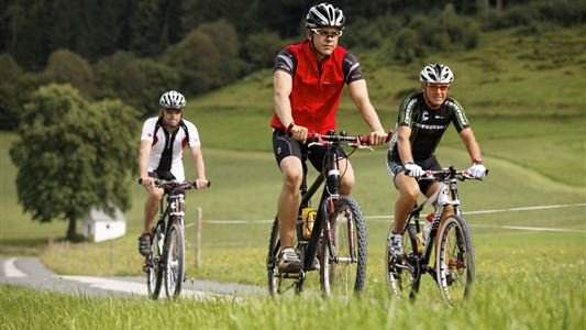
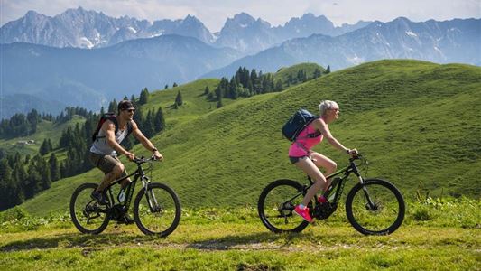
Mountainbike tour

Bike & Hike

+1

6793,00 km

02:47 h

578 hm

Best Time of Year

Jan

Feb

Mar

Apr

May

Jun

Jul

Aug

Sep

Oct

Nov

Dec

Information

Start at the Dankl parking lot next to the B176 federal road. The route branches off from the cycle path Unterbergrunde no. 43 in the Kohental towards Gasthaus Hohenkendl. Along the main road to the hiking parking lot Kohalm, here ascending past the farms. Follow the forest path through the

Read more ...

Features & Characteristics

Endurance

Skill Level

Starting Point

Parkplatz Dankl

End Point

Kohlalm

Duration E-Bike

Map & Elevation Profile

Similar Tour Suggestions

Rettenschöss - Karspitze - Feistenau Nr. 347

Medium

Biking

Mountainbike tour

Starting Point: Rettenschöss

End Point: Rettenschöss

13,10 km

02:30 h

712 hm

670 hm

1253 m

Tour to Thiersee across Bavaria

Medium

Biking

Cycling tour

Road bike tour

Starting Point: Walchsee

End Point: Walchsee

109,40 km

926 hm

920 hm

859 m

Kufstein - Fortress tour

Medium

Biking

Cycling tour

Starting Point: Infobüro Walchsee

End Point: Infobüro Walchsee

40,80 km

05:00 h

265 hm

267 hm

692 m

Kranzhorn Nr. 16, 314, 334, 333

Medium

Biking

Mountainbike tour

Starting Point: Walchsee

End Point: Walchsee

43,40 km

1366 hm

1371 hm

1237 m

Dichtleralm Nr. 246

Medium

Biking

Cycling tour

Mountainbike tour

Starting Point: Kössen

End Point: Hirzinghütte

8,40 km

01:15 h

506 hm

64 hm

1093 m

Pillersee

Medium

Biking

Road bike tour

Starting Point: beliebiger Einstieg

End Point: beliebiger Endpunkt

87,80 km

635 hm

634 hm

960 m

Rettenschöss - Wandberg Nr. 311

Medium

Biking

Cycling tour

Mountainbike tour

Starting Point: Rettenschöss

End Point: Wandbergalm - Burgeralm

7,20 km

01:45 h

796 hm

138 hm

1342 m

Rettenschöss - Wildbichl -  Buchbergrunde Weg Nr. 16

Medium

Biking

Mountainbike tour

Starting Point: Infobüro Walchsee

End Point: Infobüro Walchsee

21,50 km

03:00 h

314 hm

318 hm

757 m