Hiking

Medium

Niederhausertal - Lackalm - Nr. 70

Hiking tour

9,50 km

06:00 h

884 hm

260 hm

1331 m

Best Time of Year

Jan

Feb

Mar

Apr

May

Jun

Jul

Aug

Sep

Oct

Nov

Dec

Information

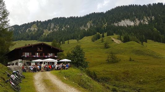
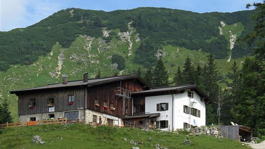
Starting Point ist the Gasthof Lucknerhof. Now we turn right and walk along a well-built path along the rook to the Niederhausertal. At the "Lackalm" signpost, follow the path to the left to the alpine hut.

Recommended Equipment

Breathable outdoor clothing suitable for the weather, sturdy footwear, food (snacks, drinks),
sun protection (sunglasses, sun cream & cap), rain protection, cash; guest card if using the bus

Features & Characteristics

Endurance

Skill Level

Huts & Alpine Pastures

Starting Point

Fire Station Schwendt

End Point

Lackalm

Map & Elevation Profile

Arrival

By car to Unterschwendt.

Similar Tour Suggestions

Schöne Aussicht- Wildbichlam - Wandberg - Nr. 14b, 14

Medium

Hiking

Hiking tour

Starting Point: Parking lot Faistenau

End Point: Parking lot Faistenau

12,60 km

05:30 h

686 hm

1440 m

Hochalm - Heuberg

Medium

Hiking

Hiking tour

Starting Point: Parkplatz Lippenalm

End Point: Parkplatz Lippenalm

15,80 km

06:30 h

1252 hm

1247 hm

1603 m

Partially Open
Schwemmrunde - Nr. 35

Easy

Hiking

Hiking tour

Starting Point: Tourist Office Walchsee

End Point: Tourist Office Walchsee

6,50 km

01:30 h

50 hm

Around  Kössen  - Nr. 12, 7, 9, 2

Easy

Hiking

Hiking tour

Starting Point: Tourist Office Kössen

End Point: Tourist Office Kössen

9,40 km

02:30 h

81 hm

82 hm

647 m

über die Almen von Walchsee nach Kössen - Nr. 54, 47a, 3, 14, 8, 87,24

Medium

Hiking

Hiking tour

Starting Point: Walchsee

End Point: Kössen

21,60 km

08:00 h

1521 hm

1588 hm

1641 m

Schwendt – Aschental Circuit

Medium

Hiking

Winter walking

Hiking tour

Starting Point: Dorfzentrum Schwendt

End Point: Dorfzentrum Schwendt

2,30 km

01:00 h

72 hm

Lippenalm

Medium

Hiking

Hiking tour

Starting Point: Dorfzentrum Walchsee

End Point: Lippenalm

4,40 km

01:30 h

310 hm

939 m

Dorfrunde - Kohlental

Easy

Hiking

Starting Point: Gemeindeamt Schwendt

End Point: Gemeindeamt Schwendt

5,50 km

01:30 h

82 hm