Hiking

Easy

Feistenau to Wildbichlalm

Hiking tour

2,10 km

01:15 h

107 hm

1094 m

Best Time of Year

Jan

Feb

Mar

Apr

May

Jun

Jul

Aug

Sep

Oct

Nov

Dec

Information

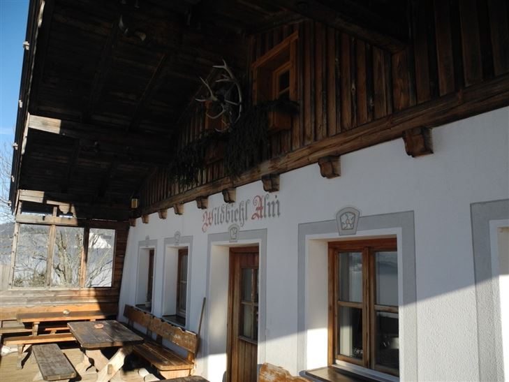
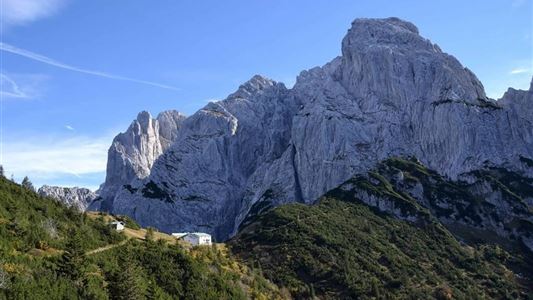
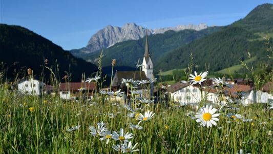
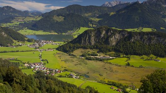
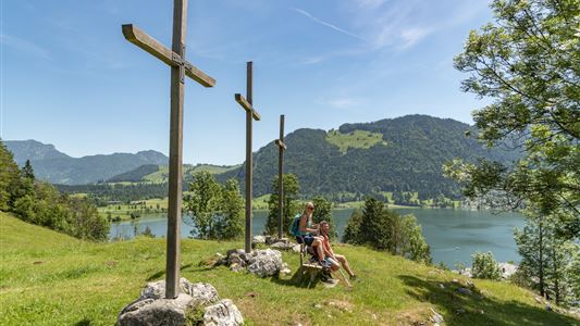
Just behind the Gasthaus Schöne Aussicht begins the steepest or most strenuous part of the short hike. If you have made the 100 Hohenmeter it goes almost in the plane over pasture and through forest areas to Wildbichlalm. From there you can enjoy an indescribably beautiful view of the Inn

Read more ...

Recommended Equipment

entsprechende Kleidung, richtiges Schuhwerk, Rucksack, Regenschutz, evtl. Wanderstöcke, Handy, Sonnencreme, Jause (Brotzeit) und Getränke, evtl. Fotokamera

Features & Characteristics

Starting Point

Gasthaus Schöne Aussicht

End Point

Gasthaus Schöne Aussicht

Map & Elevation Profile

Arrival

Best arrival by car via the B172 from Walchsee in the direction of Niederndorf. In the district Primau, Rettenschöss it is five kilometers along the municipal road, until you come to the public parking Feistenau. From there you start the hike.

Similar Tour Suggestions

Niederhausental - Lackalm

Medium

Hiking

Hiking tour

Starting Point: Feuerwehrhaus Schwendt

End Point: Lackalm

9,50 km

06:00 h

884 hm

260 hm

1331 m

Habersauertal - Raineralm - Lippenalm - Nr. 87, 52

Medium

Hiking

Hiking tour

Starting Point: 668

End Point: 668

11,20 km

03:30 h

560 hm

1096 m

Breitenstein

Medium

Hiking

Hiking tour

Starting Point: Infobüro Walchsee

End Point: Infobüro Walchsee

9,50 km

07:00 h

1224 hm

235 hm

1649 m

Schwendt - Kohlalm

Medium

Hiking

Hiking tour

Starting Point: Parkplatz Kohlalm

End Point: Kohlalm

5,40 km

02:00 h

590 hm

1255 m

Habersautal-Feldalm-Hochalm

Medium

Hiking

Hiking tour

Starting Point: Walchsee

End Point: Walchsee

22,80 km

07:00 h

1178 hm

1024 hm

1420 m

Kössen Riverbank Trail

Easy

Hiking

Hiking tour

Starting Point: Staffenbrücke

End Point: Staffenbrücke

4,20 km

01:30 h

20 hm

597 m

Kaiserbachtal - Feldberg - Stripsenjoch

Medium

Hiking

Hiking tour

Starting Point: Kirchdorf - Parking Kaiserbachtal

End Point: Kirchdorf - Parking Kaiserbachtal

21,00 km

09:00 h

1170 hm

1180 hm

1800 m

Medium

Hiking

Hiking tour

4,10 km

02:00 h

222 hm

217 hm

881 m