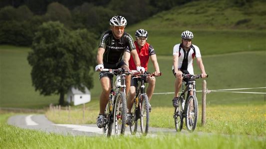
Biking

Medium

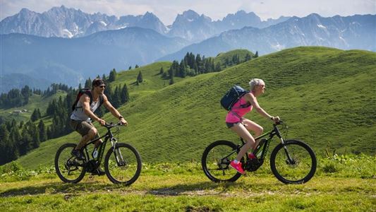
Rettenschöss - Karspitze - Feistenau Nr. 347

Mountainbike tour

Loop tour

13,10 km

02:30 h

712 hm

670 hm

1253 m

Best Time of Year

Jan

Feb

Mar

Apr

May

Jun

Jul

Aug

Sep

Oct

Nov

Dec

Information

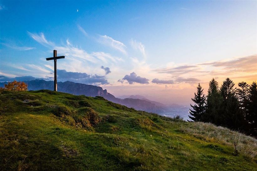
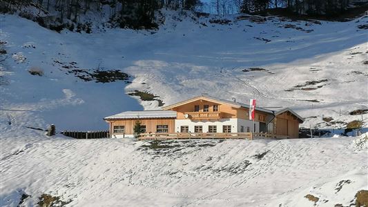
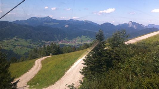
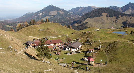
From the car park in Rettenschöss take the road to Wildbichl. Follow the road to the car park in Mannerstätt. Immediately afterwards, turn right towards Wildbichlalm. Follow the forest road until the end, here you still have a few minutes by foot to the summit cross of the Karspitz with

Read more ...

Recommended Equipment

Appropriate clothing, sturdy shoes, backpack, rain gear, mobile phone, sun cream, snack and drinks, possibly a camera.

Features & Characteristics

Starting Point

Rettenschöss

End Point

Rettenschöss

Loop tour

Yes

Map & Elevation Profile

Arrival

By car to the centre of Rettenschöss.

Similar Tour Suggestions

Rettenschöss - Wildbichl -  Buchbergrunde Weg Nr. 16

Medium

Biking

Mountainbike tour

Starting Point: Infobüro Walchsee

End Point: Infobüro Walchsee

21,50 km

03:00 h

314 hm

318 hm

757 m

Haraualm Nr. 245

Medium

Biking

Mountainbike tour

Starting Point: Infobüro Kössen

End Point: Haraualm

9,30 km

01:30 h

412 hm

12 hm

987 m

Dichtleralm Nr. 246

Medium

Biking

Cycling tour

Mountainbike tour

Starting Point: Kössen

End Point: Hirzinghütte

8,40 km

01:15 h

506 hm

64 hm

1093 m

St. Johann - Walchsee 16. Etappe Bikeschaukel Tirol

Medium

Biking

Cycling tour

Mountainbike tour

Starting Point: St. Johann in Tirol

End Point: Walchsee

46,90 km

1512 hm

1510 hm

1482 m

Kaiser Bike Tour

Medium

Biking

Cycling tour

Mountainbike tour

Starting Point: wherever you want

End Point: wherever you want

85,60 km

724 hm

714 hm

807 m

Kranzhorn Nr. 16, 314, 334, 333

Medium

Biking

Mountainbike tour

Starting Point: Walchsee

End Point: Walchsee

43,40 km

1366 hm

1371 hm

1237 m

Kolentalradweg

Easy

Biking

Cycling tour

Starting Point: Infobüro Kössen

End Point: Infobüro Kirchdorf

21,30 km

01:30 h

245 hm

185 hm

758 m

Sudelfeldrunde

Medium

Biking

Mountainbike tour

Road bike tour

Starting Point: beliebiger Einstieg

End Point: beliebiger Endpunkt

77,70 km

1165 hm

1158 hm

1127 m