Biking

Medium

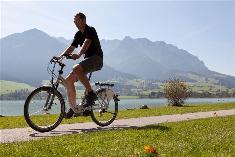
Mozartradweg Etappe 12, 13

Cycling tour

37,50 km

02:30 h

423 hm

318 hm

759 m

Best Time of Year

Jan

Feb

Mar

Apr

May

Jun

Jul

Aug

Sep

Oct

Nov

Dec

Information

After the village sign Sebi turn right in direction Buchberg. After a slight increase turn left past the Gasthaus Lederer. Continue on Asching until you reach the main road to Durchholzen.
Follow this road and at the Amberg lift turn right into the small road. Turn left at the crossroads at

Read more ...

Recommended Equipment

Appropriate clothing, sturdy shoes, backpack, rain gear, mobile phone, sun cream, snack and drinks, possibly a camera.

Map & Elevation Profile

Arrival

By car to the centre of Kössen or Walchsee.

Similar Tour Suggestions

Tour to Thiersee across Bavaria

Medium

Biking

Cycling tour

Road bike tour

Starting Point: Walchsee

End Point: Walchsee

109,40 km

926 hm

920 hm

859 m

Klausenbergrunde - Schüttäler - Leukental Nr. 248, 249

Medium

Biking

Cycling tour

Mountainbike tour

Starting Point: Infobüro Kössen

End Point: Infobüro Kössen

27,70 km

03:30 h

564 hm

559 hm

1027 m

Leukentalradweg Nr. 20

Easy

Biking

Cycling tour

Starting Point: Kössen

End Point: Erpfendorf

13,60 km

01:30 h

120 hm

79 hm

641 m

Sudelfeldrunde

Medium

Biking

Mountainbike tour

Road bike tour

Starting Point: beliebiger Einstieg

End Point: beliebiger Endpunkt

77,70 km

1165 hm

1158 hm

1127 m

Haraualm Nr. 245

Medium

Biking

Mountainbike tour

Starting Point: Infobüro Kössen

End Point: Haraualm

9,30 km

01:30 h

412 hm

12 hm

987 m

Rettenschöss - Karspitze - Feistenau Nr. 347

Medium

Biking

Mountainbike tour

Starting Point: Rettenschöss

End Point: Rettenschöss

13,10 km

02:30 h

712 hm

670 hm

1253 m

Naring - Karalm - Ottenalm Nr. 244

Medium

Biking

Mountainbike tour

Starting Point: Infobüro Kössen

End Point: Infobüro Kössen

9,00 km

02:30 h

1095 hm

1100 hm

1289 m

Klausenberg - Klausenbergklamm

Medium

Biking

Mountainbike tour

Starting Point: Abzweigung Erpfendorf

End Point: Kössen

19,70 km

02:30 h

697 hm

694 hm

902 m